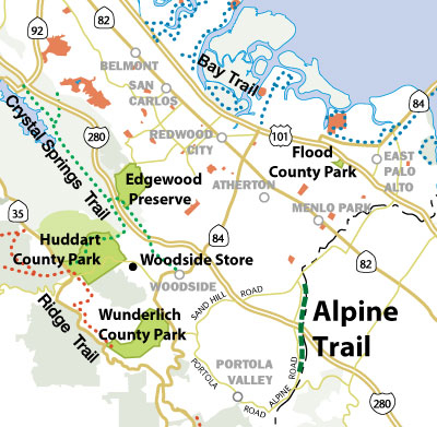
This is a paved trail, beginning at the Santa Cruz Avenue/Alpine Road/Junipero Serra Boulevard intersection in Menlo Park. It skirts the Stanford Golf Course, and curves into the old road fronting a small settlement, formerly known as Stanford Weekend Acres. Opposite the Linear Accelerator, the trail leaves the road and crosses a bridge over San Francisquito Creek, on the old road alignment. The trail comes back to Alpine Road near Webb Ranch fruit and vegetable stand. It then goes under Freeway 280, and dips down towards the creek, where it goes through an underpass for the on-ramp of Southbound Freeway 280. It passes through the Ladera Community on the southeasterly side of Alpine Road. After passing the Swim and Tennis Club, it enters the Town of Portola Valley and becomes the Dwight F. Crowder Memorial Bicycle Path, maintained by Portola Valley, and runs along Alpine Road to its intersection with Portola Road.
Alpine trail connects to access into Midpen's Coal Creek Open Space Preserve. For trail conditions, visit the Midpen website.