Please note: The trails section of the Huddart Park website is currently being updated to reflect changes made to the park trail system. Some of the maps and information below may be incorrect. See our current map or brochure for better information.
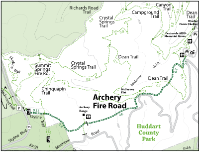
Archery Fire Road lies on the east side of the park. Parking is available in the Miwok Area. This trail is more than a 10% grade and runs partly along Kings Mountain Road, where one can hear vehicles when they are hiking. The trees along side this trail will be redwoods, madrone and Doug firs. Some of the trail tread is base rock but is mostly clay soil. In the winter months this trail is slippery due to the clay soil. This trail connects to the Chinquapin, Dean and Skyline Trails.
Open to: Equestrian, Hiking
Surface:Soil
Length: