Please note: The trails section of the Pescadero Creek Park web site is currently being updated to reflect changes made to the park trail system. Some of the maps and information below may be incorrect. See our current map or brochure for better information.
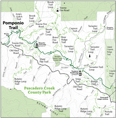
Originally built by the Boy Scouts to provide a route from Camp Pomponio (now the Sheriff’s Honor Camp) to Memorial Park and Portola Parks. After crossing Pescadero Creek (west end) the trail climbs for about a half mile before descending to the Towne Creek area where a small fern grotto can be found. Although the trail generally contours along, short grades are encountered in various areas. Trail users need to carefully follow the signs along this trail as the route changes from single track to fire road in several places, with numerous junctions encountered along the way.
Open to: Equestrian, Hiking
Surface:Soil
Length: