Please note: The trails section of the Memorial Park website is currently being updated to reflect changes made to the park trail system. Some of the maps and information below may be incorrect. See our current map or brochure for better information.
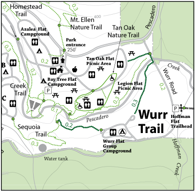
Connects the Pescadero Creek Park Trailhead at Wurr Flat Campground and Creek Flat Picnic Area. A steep spur trail near Pescadero Creek links with the Sequoia Trail to give access to the Sequoia Flat Campground ( upper C area ).
Park: Memorial Park
Open to: Hiking
Surface:Soil
Length:
0.30 miles
Difficulty: Easy
Elevation Change:
131 ft.